AN: B42B-06
TI: Toward A National Early Warning System for Forest Disturbances Using Remotely Sensed Land Surface Phenology
AU: Hargrove, W W
EM: hnw@geobabble.org
AF: Eastern Forest Environmental Threat Assessment Center, USDA Forest Service, Asheville, NC, United States
AU: Spruce, J
EM: joseph.p.spruce@nasa.gov
AF: Science Systems and Applications, Inc., John C. Stennis Space Center, MS, United States
AU: Gasser, G
EM: gerald.e.gasser@lmco.com
AF: Lockheed Martin Civil Programs, John C. Stennis Space Center, MS, United States
AU: Hoffman, F M
EM: forrest@climatemodeling.org
AF: Computational Earth Sciences Group, Oak Ridge National Laboratory, Oak Ridge, TN, United States
AB: We are using a statistical clustering method for delineating homogeneous ecoregions as a basis for identifying disturbances in forests through time over large areas, up to national and global extents. Such changes can be shown relative to past conditions, or can be predicted relative to present conditions, as with forecasts of future climatic change. This quantitative ecoregion approach can be used to predict destinations for populations whose local environments are forecast to become unsuitable and are forced to migrate as their habitat shifts, and is also useful for predicting the susceptibility of new locations to invasive species like Sudden Oak Death. EFETAC and our sister western center WWETAC, along with our NASA and ORNL collaborators, are designing a new national-scale early warning system for forest threats, called FIRST. Envisioned as a change-detection system, FIRST will identify all land surface cover changes at the MODIS observational scale, and then try to discriminate normal, expected seasonal changes from locations having unusual activity that may represent potential forest threats. As a start, we have developed new national data sets every 16 days from 2002 through 2008, based on land surface phenology, or timing of leaf-out in the spring and brown-down in the fall. Changes in such phenological maps will be shown to contain important information about vegetation health status across the United States.
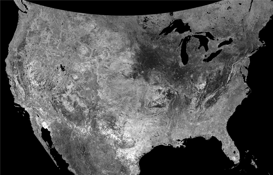
The standard deviation of the duration of fall can be mapped, showing places where length of fall is relatively constant or is variable in length from year to year.
DE: [0476] BIOGEOSCIENCES / Plant ecology
DE: [0480] BIOGEOSCIENCES / Remote sensing
DE: [1632] GLOBAL CHANGE / Land cover change
DE: [1932] INFORMATICS / High-performance computing
SC: Biogeosciences (B)
MN: 2009 Fall Meeting